Cartography and GIS
Grades 8 - 12Some information is not shown until you have an approved application, and logged in with an approved account.
Course Schedule
Dates: 2025-08-12 to 2026-05-14
Cost
Supplies: $20
Expectations and Homework
Prerequisites
Class Supplies Needed
Get in Touch
About the Course

Cartography is the art and science of creating and using maps. Students will be taught to create maps by hand with a compass. In addition to traditional cartography, this course will cover the use of Global Positioning Systems (GPS), and Geographic Information Systems (GIS).
In the fall we will use field methods for creating maps. This portion of the course will be taught outside using both modern and historical equipment.
During the fall and winter, we will use computer software technology to create maps and display geographic data.
Material covered includes the fundamental concepts of geographic information science (GIS) and the function of GIS software.
- Learn about geographic data and its use
- Learn about GIS and its uses
- Learn about GPS
- Learn to create new data
- Explore and create thematic maps
- Interpret geographic data and satellite images
- Learn about remote sensing
- Learn about geospatial-intelligence
During the spring we will use a GPS receiver to collect different types of field data outside. We will also explore how GIS contributes to citizen science and humanitarian efforts.
We will be using a combination of Open-Source software and K-12 Education Licensing for software use during this course. Students will need access to an email to generate software licenses and login to classroom managed online accounts.
Students will create a capstone project of their choice. Because GIS impacts many fields of study, I encourage students to choose a topic that interests them or supplements their learning at home. The final project will consist of collecting data, interpreting the data, and presenting the data.
Registration
Please login or Create an Online Account to allow course registration from this page.
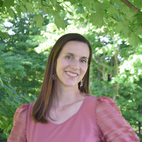
About Angela

I am excited to bring an introduction to coding and robotics to Cornerstone. My family has been homeschooling for five years and we are so thankful for the community at Cornerstone. I am a professional geographer and work as a geospatial engineer at Trideum Corporation. I completed my master’s degree in Geographic Information Science and am currently pursuing a degree in software development.
My family and I live on a farm in Lanesville, Indiana. I enjoy building outdoor education programs for different scouting organizations, and I have taught programming, robotics, and cybersecurity for scouting programs. I love crafting, singing in our church’s choir, and being outdoors.